National Soil Monitoring Program
The National Soil Monitoring Program is a $21.6 million Australian Government initiative, designed by CSIRO and funded through the Natural Heritage Trust to support climate-smart and sustainable agriculture, and gather nationally consistent soil data to understand changes to soil biology.

Understanding soil changes over time is vital for informing land management decisions.
Background
Background
Soil is a valuable and highly important asset, which is critical to supporting the productivity and health of northern Tasmania’s economic, environmental and social values.
Tasmanian agricultural systems have relatively high organic carbon content due to climatic and soil influences, however intensified farming practices, changing climate, erosion, increased chemical inputs and over 200 years of cultivation has led to significant declines in overall soil health.
Understanding soil changes over time is vital for providing information to guide improved land management actions and investment, to sustain our agricultural industry and ecosystems well into the future. Currently, there is no nationally consistent, long-term measured soil data available to understand soil changes.
Program plan
Program plan
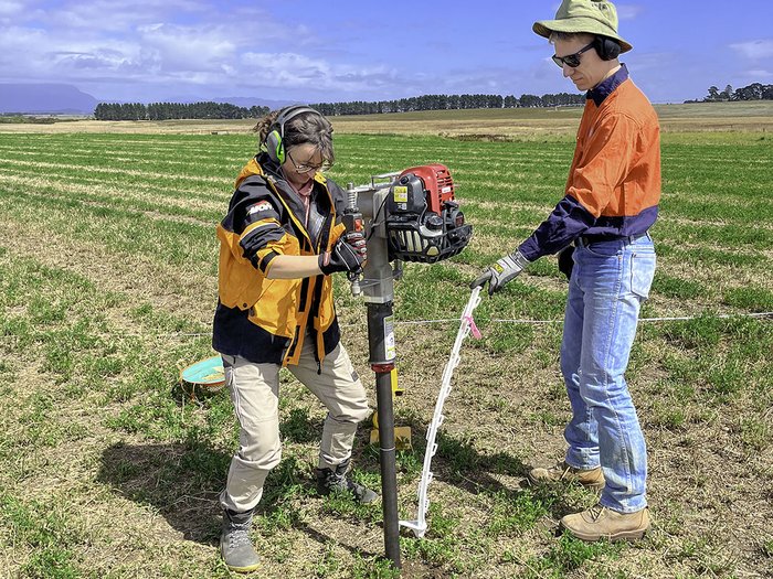
The National Soil Monitoring Program focuses on major agricultural zones and will sample and monitor approximately 3,000 sites across Australia to provide nationally consistent soil data for an enduring soil monitoring program into the future.
NRM North, Cradle Coast NRM and NRM South have been engaged by CSIRO to engage landholders at pre-determined sites across Tasmania in soil monitoring efforts, with resampling to occur every five years, over a total of 20 years, to see how our soils are changing. Soil core samples of 50 mm diameter will be extracted up to a depth of 1 metre, from small 25 m x 25 m areas. Making sure to minimize disturbance, sites will be backfilled upon completion.
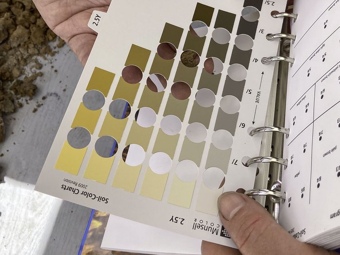
Data collected as part of the program will use internationally and nationally recognised methods and approaches, and will be publicly accessible through the Australian National Soil Information System. Landholders will also receive a detailed report on their soil test results, including information about its chemical, physical and biological properties.
Tasmanian soils have relatively high organic carbon content due to climatic and soil influences.
Benefits of involvement
Information gained from pre-determined sites will:
- Empower stakeholders to better understand the importance of soil
- Enable evidence-based decision making to improve soil health
- Boost the sustainability and resilience of agricultural land
- Increase confidence in the data used for national and international reporting
- Provide insight to land managers of long-term impacts of soil management practices and inform future actions to improve sustainability.
Resources
Resources
Partners
The National Soil Monitoring Program has been supported by funding through the Australian Government Natural Heritage Trust (Department of Agriculture, Fisheries and Forestry) in collaboration with CSIRO.
Partners
The National Soil Monitoring Program has been supported by funding through the Australian Government Natural Heritage Trust (Department of Agriculture, Fisheries and Forestry) in collaboration with CSIRO.