Truwana Water Quality Planning Project
Providing a better understanding of the patterns of water availability and quality at key locations on Truwana / Cape Barren Island.
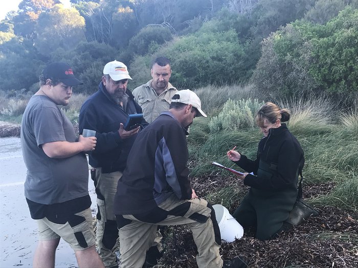
In 2018, NRM North’s Dr Toni Furlonge worked with Aboriginal Rangers to collect water quality data on truwana.
Background
Background
Truwana / Cape Barren Island is part of the Furneaux Group of islands in Bass Strait off the north-east coast of Tasmania. Flinders Island lies to the north and Lungtalanana / Clarke Island to the south. Truwana is 478 km2.
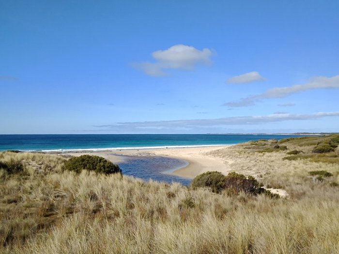
The East Coast Cape Barren Island Lagoons (ECCBIL) were designated a Wetland of International Importance under the Ramsar Convention in 1982. An Ecological Character Description (ECD) of the site was first drafted in 2008, with the aim of detecting future change in ecological character and to fill knowledge gaps.
In June 2018, NRM North staff provided water quality monitoring training to Aboriginal Rangers on the island, and did a biological assessment at one of the Ramsar lagoons. Following the training, NRM North assisted the Rangers with the development of a Water Quality Monitoring Plan. The plan proposed to:
- monitor the condition of the Ramsar site
- monitor the condition of important wetlands / lagoons
- better understand seasonal water holes
- locate and map freshwater springs
- better understand the freshwater attributes of the island
- document and compare water quality conditions and patterns over time
- assist with the protection of riparian zones and aquatic ecosystems from pollution, erosion, and potential threats
“Over 800 ha of Ramsar wetland types are present within ECCBIL, making it a very diverse representation of wetland types … Being so remote means it is a largely natural system and in near pristine condition compared to other coastal wetlands.”
“Over 800 ha of Ramsar wetland types are present within ECCBIL, making it a very diverse representation of wetland types … Being so remote means it is a largely natural system and in near pristine condition compared to other coastal wetlands.”
Information Sheet on Ramsar Wetlands (RIS)
Information Sheet on Ramsar Wetlands (RIS)
Resources
Resources
